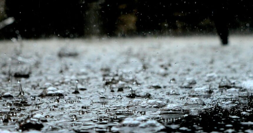
Residents across vast stretches of Ontario and Quebec are preparing for potentially dangerous weather conditions today as Environment Canada issues significant rainfall warnings, threatening flash floods and property damage in multiple regions.
Up to 75 millimetres of rain could drench parts of both provinces over the next 36 hours, with meteorologists warning that water-saturated ground from previous rainfall events heightens the risk of flash flooding. The warnings cover a diagonal swath from southwestern Ontario through to the Quebec City region.
“This isn’t your typical summer shower,” says Environment Canada meteorologist Jean Marcoux. “When we issue significant rainfall warnings, we’re looking at precipitation levels that can overwhelm drainage systems and cause rapid flooding, especially in urban areas and near waterways.”
The heaviest rainfall is expected to hit eastern Ontario and western Quebec, where some communities could see rainfall rates reaching 15mm per hour during intense thunderstorms. Areas around Ottawa, Montreal, and Gatineau face particularly high risks of localized flooding.
Municipal officials in affected areas are advising residents to clear storm drains, secure outdoor furniture, and prepare emergency kits. The Montreal civil security organization has placed additional pumping crews on standby and is monitoring water levels in flood-prone neighborhoods.
“We’ve already deployed additional personnel to known trouble spots,” says Montreal city councillor Marc Leblanc. “The ground is already saturated from last week’s storms, so our capacity to absorb more rainfall is limited.”
The timing couldn’t be worse for the region’s agricultural sector, with many farmers reporting fields already soaked from previous rainfall events. The Ontario Federation of Agriculture estimates crop damage from excessive spring and early summer rainfall has already exceeded $25 million this season.
In Toronto, which sits on the western edge of the warning area, the Toronto and Region Conservation Authority has issued a watershed conditions statement, noting that water levels in rivers and streams are already elevated.
For travelers, the heavy rainfall is expected to create hazardous driving conditions and potential delays at airports in Toronto, Ottawa, and Montreal. Air Canada and WestJet have both issued travel advisories for the affected regions.
Climate scientists note that while individual weather events cannot be directly attributed to climate change, the increasing frequency of extreme precipitation events aligns with climate model predictions for the region.
“What we’re seeing is consistent with climate change projections for eastern Canada,” explains Dr. Sarah Chen, climate researcher at the University of Toronto. “Warmer air holds more moisture, resulting in more intense rainfall events, even while overall precipitation patterns may be changing.”
Residents in affected areas are urged to monitor local forecasts and emergency alerts, avoid driving through flooded roadways, and check on vulnerable neighbors who may need assistance.
For the latest updates on the developing weather situation, visit CO24 Breaking News or check Environment Canada’s official weather alerts.